
Botswana's geology is easy to associate with diamonds, but the ground beneath the country contains far more information than mineral wealth alone. It stores groundwater, records ancient geological events, influences where infrastructure can safely be built and carries evidence of hazards that may not be visible at the surface.
The Botswana Geoscience Institute exists to turn that hidden information into usable knowledge. Its legal mandate includes geoscientific research, mineral-resource assessment, strategic aquifer mapping, geotechnical information, seismic-risk work and specialised geoscience services.
The short version
Geoscience is the country's instruction manual for the ground beneath us. It helps answer not only 'What can be mined?' but also 'Where is groundwater?', 'What is this ground made of?', 'What risks exist here?' and 'What should we know before building?'
A map is a scientific argument
A geological map may look like coloured shapes on paper, but each boundary represents evidence about rock type, age, structure or geological history. Building those maps requires field observations, samples, geophysics, geochemistry and interpretation.
Once assembled, the information becomes useful far beyond geology departments. Exploration companies use it to understand mineral potential. Engineers use ground information when assessing infrastructure. Water planners use hydrogeological information to understand aquifers.
Groundwater is geology in everyday life
In a semi-arid country, groundwater is not an abstract research subject. The ability of underground formations to store and transmit water directly affects settlements, agriculture, industry and drought resilience.
BGI's mandate includes strategic aquifer mapping and underground modelling. Its 2023 reporting described groundwater-potential maps for northern Botswana showing information such as potential aquifer productivity, groundwater quality, depth to water strikes and general flow directions.
Think of the subsurface as a hidden building
Imagine planning renovations in a building without knowing where the pipes, cables or structural columns are. You might still proceed, but every decision carries more uncertainty. Geoscience performs a similar function for land: it reduces uncertainty about what lies beneath a proposed mine, road, settlement, borehole or other development.
That is why geotechnical and geohazard information matters even when no mineral is being extracted. Expanding towns and infrastructure need knowledge of ground conditions, while seismic and other hazard assessments help planners understand risk.
Mineral intelligence remains economically important
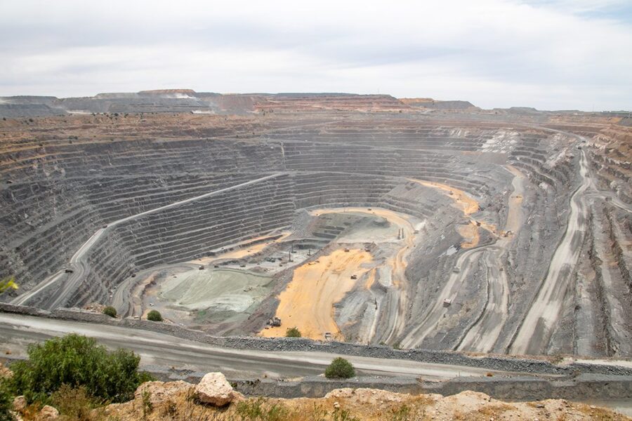
Botswana's mineral economy makes resource assessment a major part of geoscience. BGI compiles information on mines, mineral occurrences and geological potential, creating a national knowledge base that can guide exploration and policy.
The scientific challenge is to distinguish geological possibility from economically recoverable resources. A mineral can exist underground without being practical to mine. Geology, engineering, markets, environmental impacts and infrastructure all influence whether a deposit becomes a resource.
Why public geoscience information matters
A national geoscience institute acts partly as a memory system. Individual exploration projects come and go, but geological observations become more valuable when they are organised, preserved and made available for future research and decisions.
That accumulated knowledge reduces repeated work and gives Botswana a stronger evidence base for managing land and resources.
What happens next
The ground beneath Botswana is not simply empty space until a diamond is found. It is an archive, a water-storage system, an engineering foundation and a source of both resources and hazards.
Geoscience makes that invisible world legible. The better Botswana understands what is beneath its feet, the better it can make decisions about what happens on the surface.
Sources & further reading
- Botswana Geoscience Institute Act — mandateStatutory mandate including aquifer mapping, resource assessment and geohazards.
- BGI 2023 Annual ReportGroundwater and mineral-resource work.